"Astro Navigation from Home"
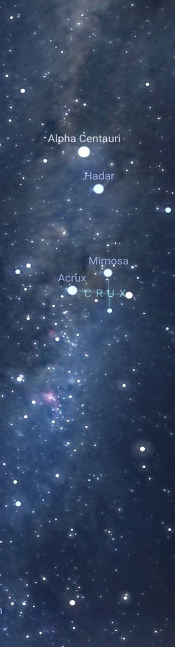
A new book with a major twist ! It is probably the first truly home based teach yourself astro navigation guide. Using a planetarium App as a sextant simulator, you can take your sights and process them just as you would in a real situation but in your own home and in your own time. If you are already familiar with the subject, you can practice and keep in tip-top shape.
The book is a detailed and thorough guide to astro navigation. If you already have all the sight reduction and other tables, then fine, otherwise you are directed to where you can download them as pdf files free of charge, along with a choice of one of the two low cost planetarium apps used in the book.
Another big advantage is that you can set up your own scenarios for practice, you are not restricted to examples set by the author. This is also ideal for those who just want to keep their practice up, even using actual scenarios from you log book, last season.
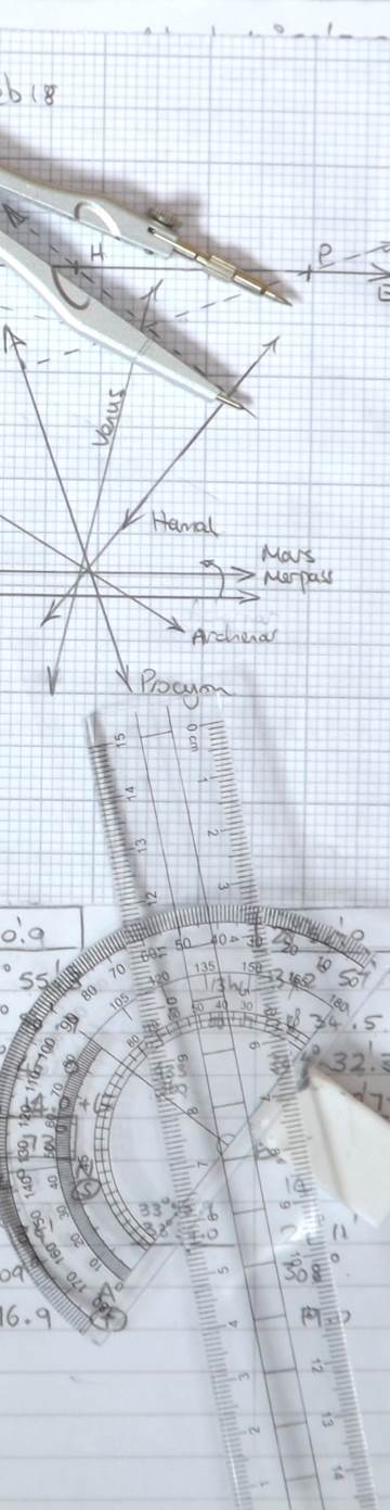
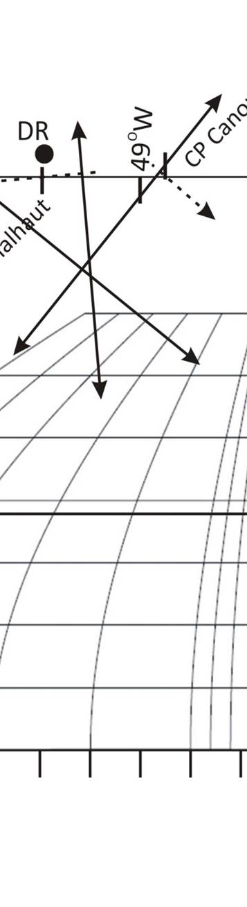
The book takes you right from the beginning through to plotting your position, both manually using plotting sheets and also utilising plotting software.
You can teach yourself or, enjoy the book as a companion to the RYA or other Astro Navigation courses.
Useful Articles
All articles copyright Andrew Johnson
Downloads
Other downloads
1. Sight reduction pro-formas -
See Note
2. Software, apps and tables to
download
3. Altitude Correction Tables for
Sun, Stars & Planets -
previous version
current version
Almanacs and tables are courtesy of theNauticalAlmanac.com, permission has been granted.
Note - The pro-formas are intended for printing out and are in their simplest form. They are a guide to the information and calculations that are required. You can develop your own styles based on these, or use them as they are.
Note - The pro-formas are intended for printing out and are in their simplest form. They are a guide to the information and calculations that are required. You can develop your own styles based on these, or use them as they are.